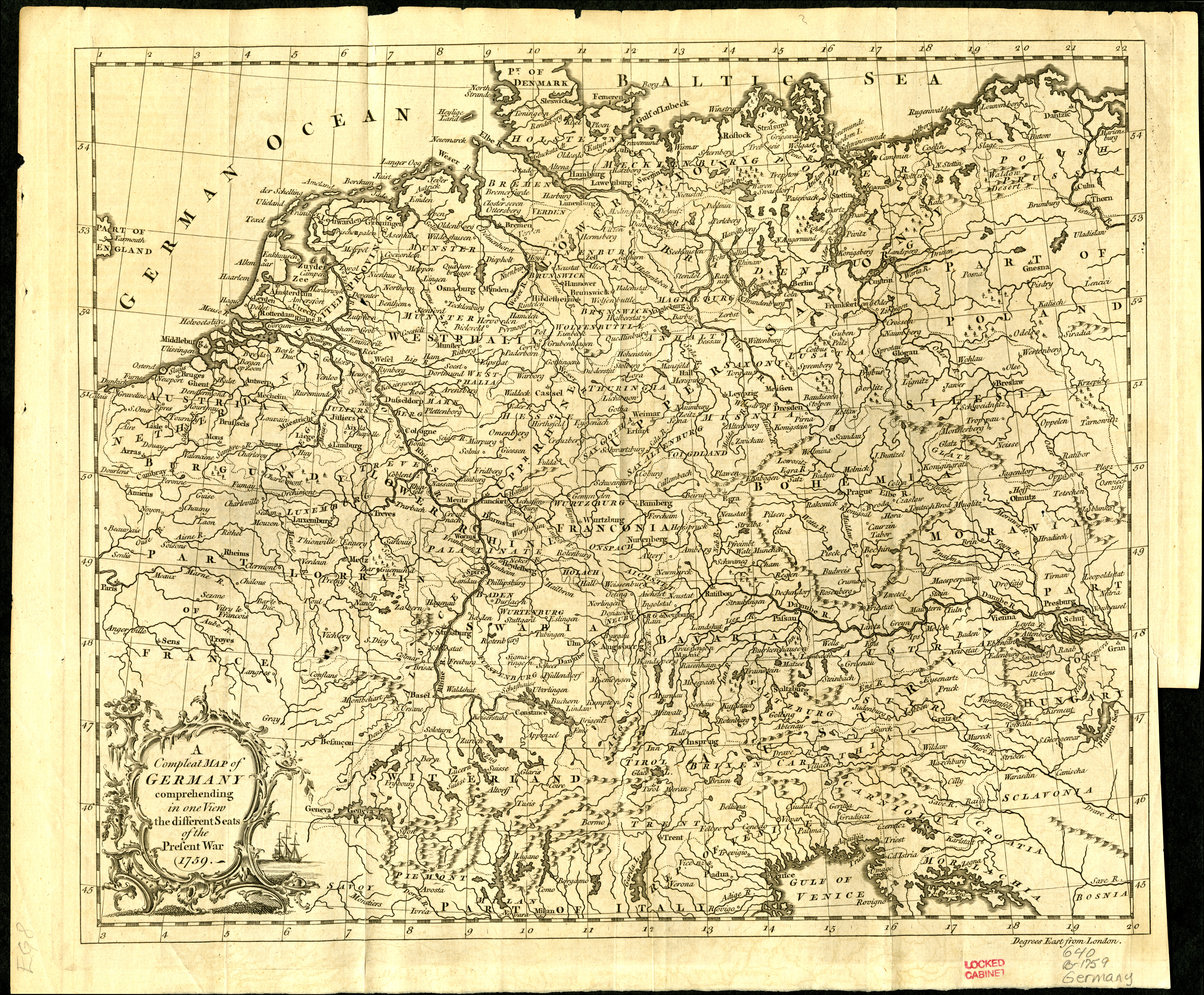
General map of Germany showing political boundaries and cities and towns. Relief shown pictorially. In: The Gentleman's Magazine for January 1759. Likely detached from: The gentleman's magazine, and historical chronicle. Volume XXIX: for the year M.DCC.LIX. London: Printed for D. Henry, and R. Cave, [1759]. Map was originally published in the January 1759 issue, and was apparently relocated to follow the preface of bound volumes of Volume XXIX. Prime meridian: London. Scale approximately 1:4,250,000.
