
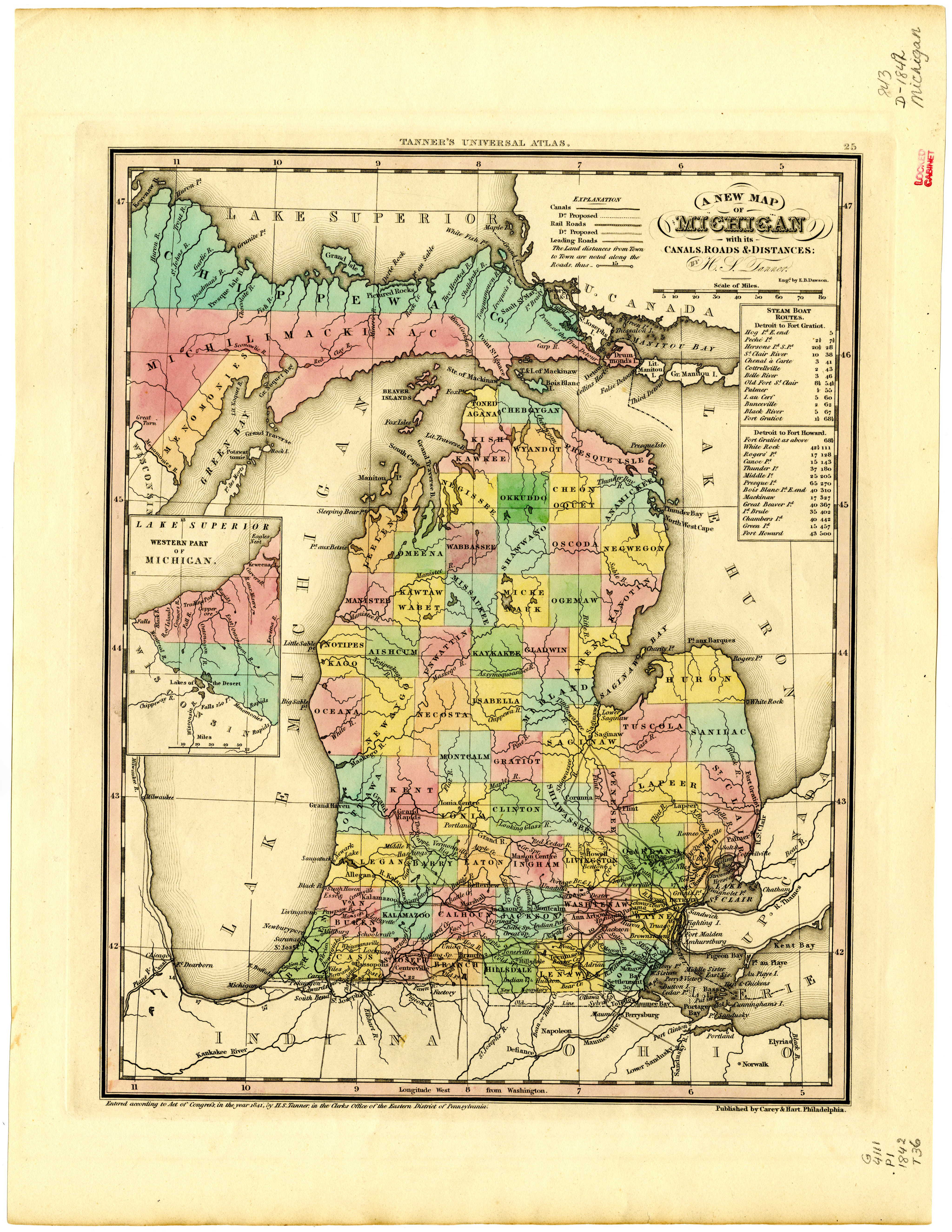
A new map of Michigan with its canals, roads & distances
- Author(s):
- Tanner, Henry Schenck
- Description:
- Relief shown by hachures. From Tanner, H.S.A new universal atlas. Philadelphia : Carey & Hart, 1842. No. 29. Prime meridian: Washington. "Entered according to act of Congress, in the year 1841, by H.S. Tanner ..." Includes table of steamboat routes.: Original version published Philadelphia : Carey & Hart, [1842]; Scale [ca. 1:2,050,000]
- Collection:
- Michigan State University Map Library
- Place(s):
- Michigan, United States
- Year:
- 1842
- Held by:
- Michigan State
- More details at
- https://lib.msu.edu/branches/maps/MSU-Scanned/Michigan/843-D-1842-Tanner