
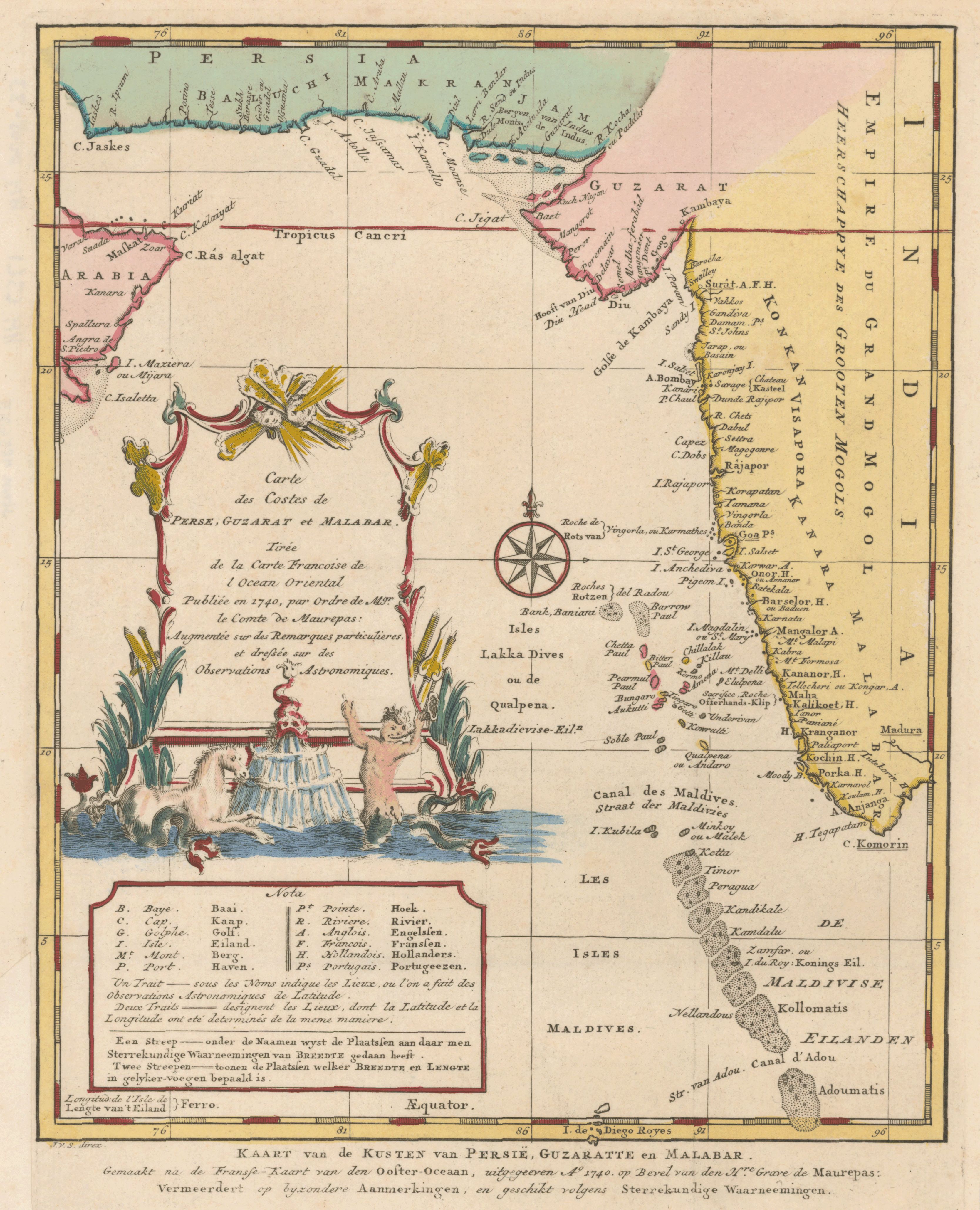
Carte des costes de Perse, Guzarat et Malabar : tirée de la carte franc̦oise de l'Ocean Oriental, publiée en 1740, par ordre de Mgr. le comte de Maurepas
- Description:
- Map of the Maldives and Lakshadweep islands, with part of the coasts of Iran and India. J.v.S. is Jacobus van der Schley. In lower margin: 16.
- Publisher:
- [Amsterdam : E. van Harrevelt ; D.J. Changuion, 1773]
- Place(s):
- Maldives, India, and Iran
- Subject(s):
- Coasts—Arabian Sea—Maps—Early works to 1800, Maldives—Maps—Early works to 1800, Lakshadweep (India)—Maps—Early works to 1800, Iran—Maps—Early works to 1800, and India—Maps—Early works to 1800
- Held by:
- Princeton
- More details at
- https://catalog.princeton.edu/catalog/5404640