
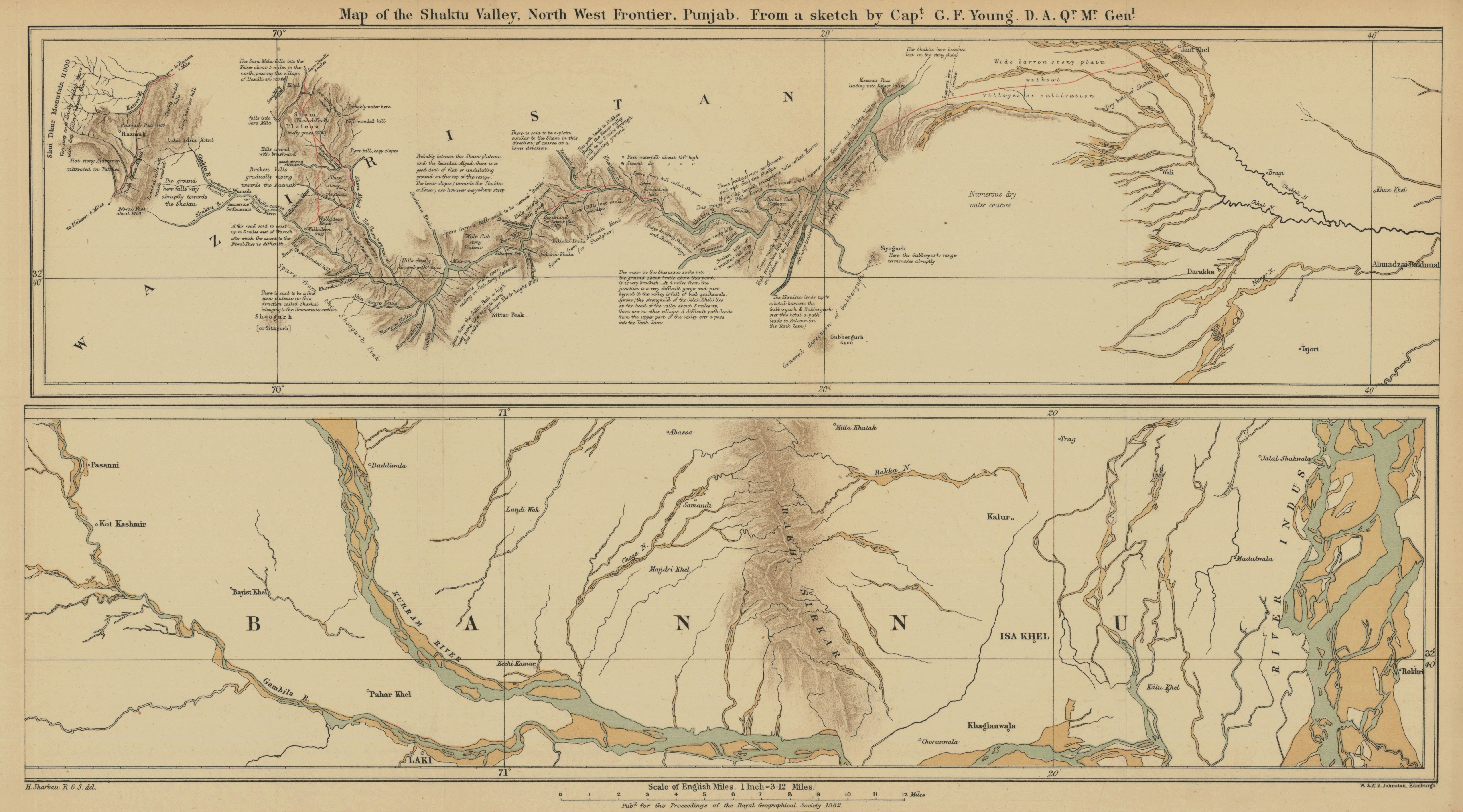
Map of the Shaktu Valley, north west frontier, Punjab from a sketch by Capt. G. F. Young, D.A. Qr. Mr. Genl
- Author(s):
- Sharbau, H. (Henry).
- Description:
- Actual, probable, and dry courses of rivers are shown. Author's route shown in red. Relief shown by hachures, spot heights, and text descriptions. From: Proceedings of the Royal Geographical Society and monthly record of geography. Vol. 4 (1882), no. 9, pp. 537-44; held in Firestone Library. Call number: G7 .J6873
- Publisher:
- London : Edward Stanford, 1882.
- Place(s):
- Pakistan
- Subject(s):
- Waziristan (Pakistan)—Description and travel, Pakistan—Description and travel, Rivers—Pakistan—Maps, Hydrography, Federally Administered Tribal Areas (Pakistan)—Maps, Khyber Pakhtunkhwa (Pakistan)—Maps, and Pakistan—Maps
- Held by:
- Princeton
- More details at
- https://catalog.princeton.edu/catalog/7928457