
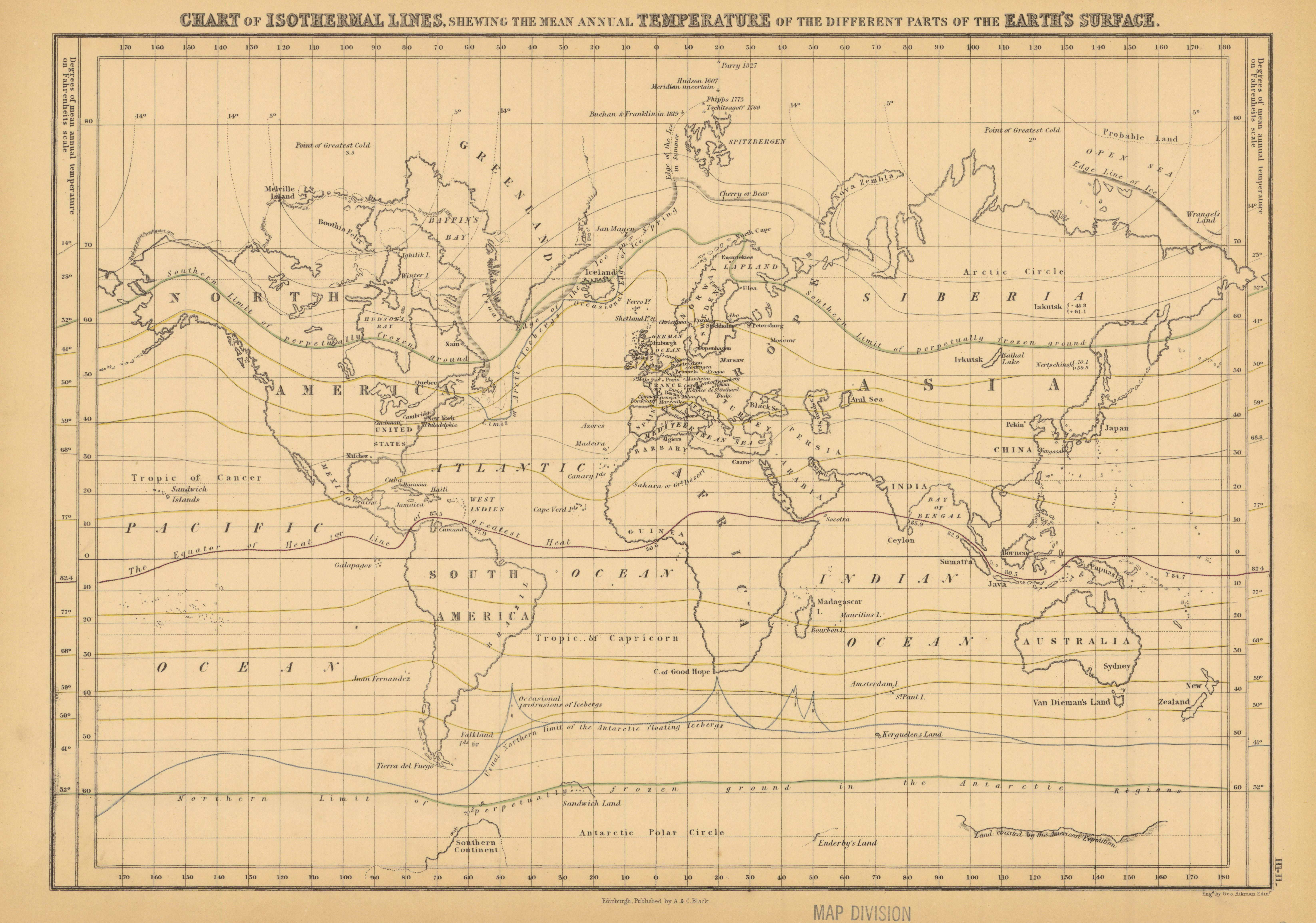
Chart of isothermal lines shewing the mean annual temperature of the different parts of the earth's surface
- Description:
- Isothermal lines projected on map of world showing mean annual temperature on Fahrenheit scale. In lower right margin: Engd. by G. Aikman. Plate III-II from: General atlas of the world ... / engraved on steel ... by Sidney Hall, William Hughes, ,,, &c. New edition . Edinburgh : Adam and Charles Black, 1854.
- Publisher:
- Edinburgh : A. & C. Black, [1854]
- Subject(s):
- World maps and Atmospheric temperature—Maps
- Held by:
- Princeton
- More details at
- https://catalog.princeton.edu/catalog/4539162