
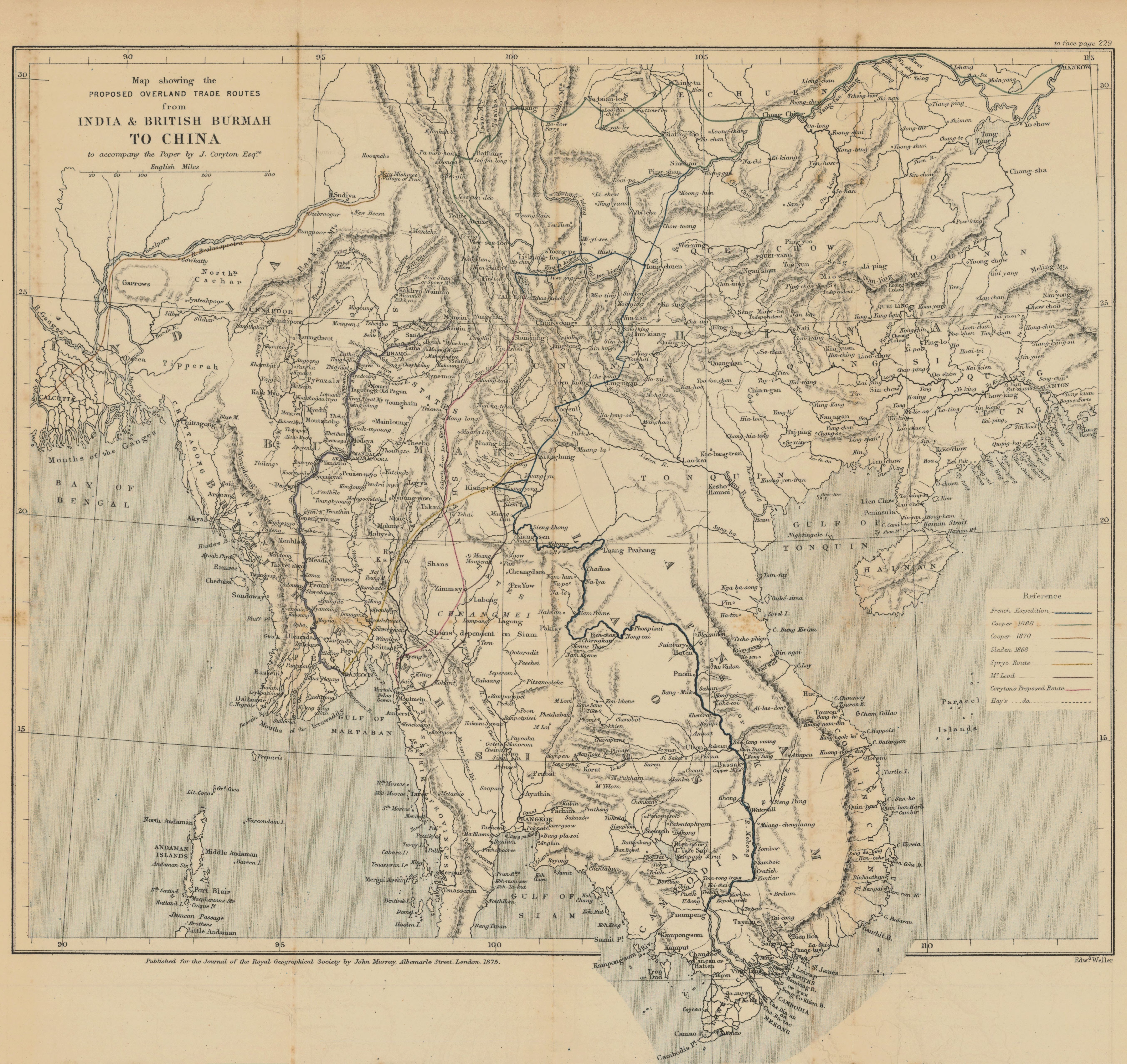
Map showing the proposed overland trade routes from India & British Burmah to China to accompany the paper by J. Coryton Esqre
- Description:
- Routes of French expedition, Cooper 1868, Cooper 1870, Sladen 1868, Sprye route, route of McLeod, and Coryton's and Hay's proposed routes are shown. Territorial boundaries are shown. Relief shown by hachures. From: Journal of the Royal Geographical Society of London. Vol. 45 (1875), p. 229-49; held in Firestone Library. Call number: G7 .J687
- Publisher:
- London : John Murray, 1875.
- Place(s):
- Southeast Asia
- Subject(s):
- Trade routes—Asia, Southeast, Southeast Asia—Discovery and exploration, and Southeast Asia—Maps
- Held by:
- Princeton
- More details at
- https://catalog.princeton.edu/catalog/7689551