
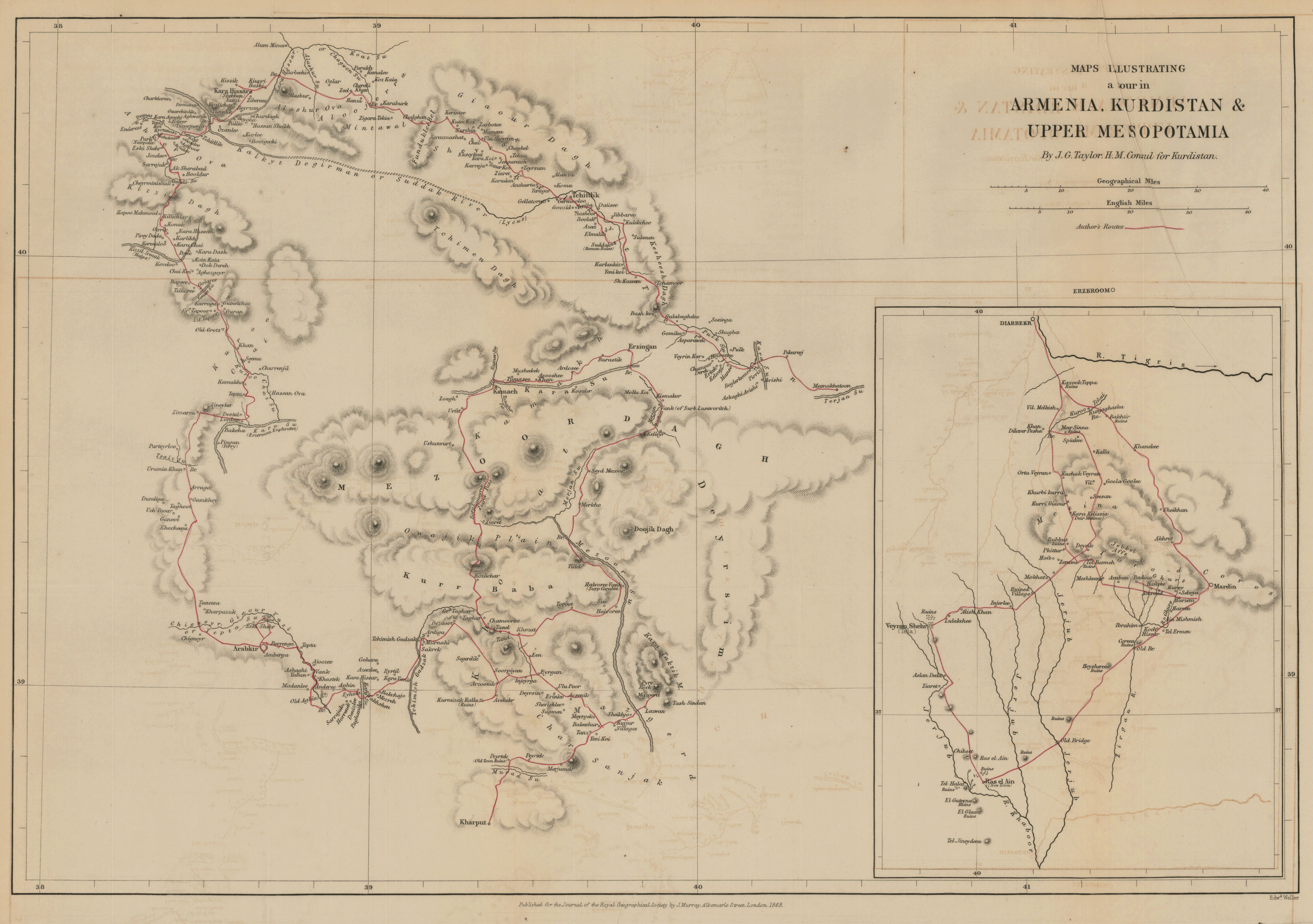
Maps illustrating a tour in Armenia, Kurdistan & Upper Mesopotamia by J.G. Taylor, H.M. Consul for Kurdistan
- Description:
- Relief shown by hachures. Route of expedition shown in red. Includes inset map of routes from Diyarbakır to Ra's al-'Ayn. From: The Journal of the Royal Geographical Society of London. Vol. 38, (1868), p. 281-361; held in Firestone Library. Call number: G7 .J687 v.38 1868
- Publisher:
- London: published for the Journal of the Royal Geographical Society by J. Murray, Albemarle Street, 1868.
- Place(s):
- Turkey
- Subject(s):
- Kurdistan—Description and travel—Maps, Physical geography—Turkey—Maps, Kurdistan—Maps, and Turkey—Description and travel—Maps
- Held by:
- Princeton
- More details at
- https://catalog.princeton.edu/catalog/7111057