
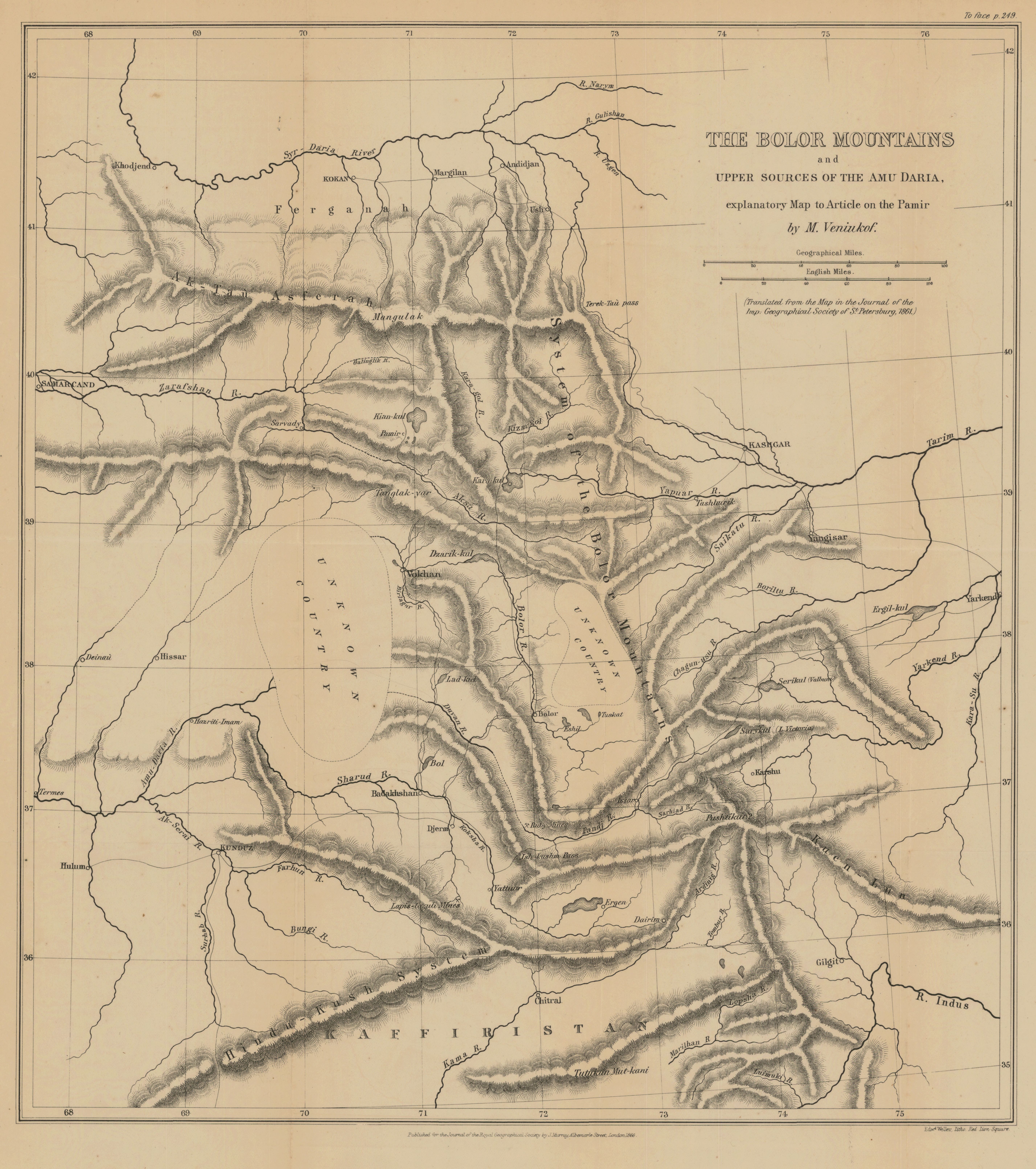
The Bolor Mountains and upper sources of the Amu Daria explanatory map to article on the Pamir by M. Veniukof
- Description:
- Relief shown by hachures. Ruby and lapis lazuli mines are located. "Translated from the Map in the Journal of the Imp. Geographical Society of St. Petersburg, 1861." From: The Journal of the Royal Geographical Society of London. Vol. 36, (1866), pp. 248-65; held in Firestone Library. Call number: G7 .J687 v.36 1866,
- Publisher:
- London : published for the Journal of the Royal Geographical Society by John Murray, Albemarle Street , 1866.
- Place(s):
- Asia, Central, Tajikistan, Uzbekistan, and Afghanistan
- Subject(s):
- Physical geography—Central Asia—Maps, Asia, Central—Maps, Afghanistan—Description and travel, Pakistan—Description and travel, Tajikistan—Description and travel, Uzbekistan—Description and travel, Pamir—Maps, Pamir-Alai Mountains—Maps, Amu Darya, and Syr Darya
- Held by:
- Princeton
- More details at
- https://catalog.princeton.edu/catalog/7107905