
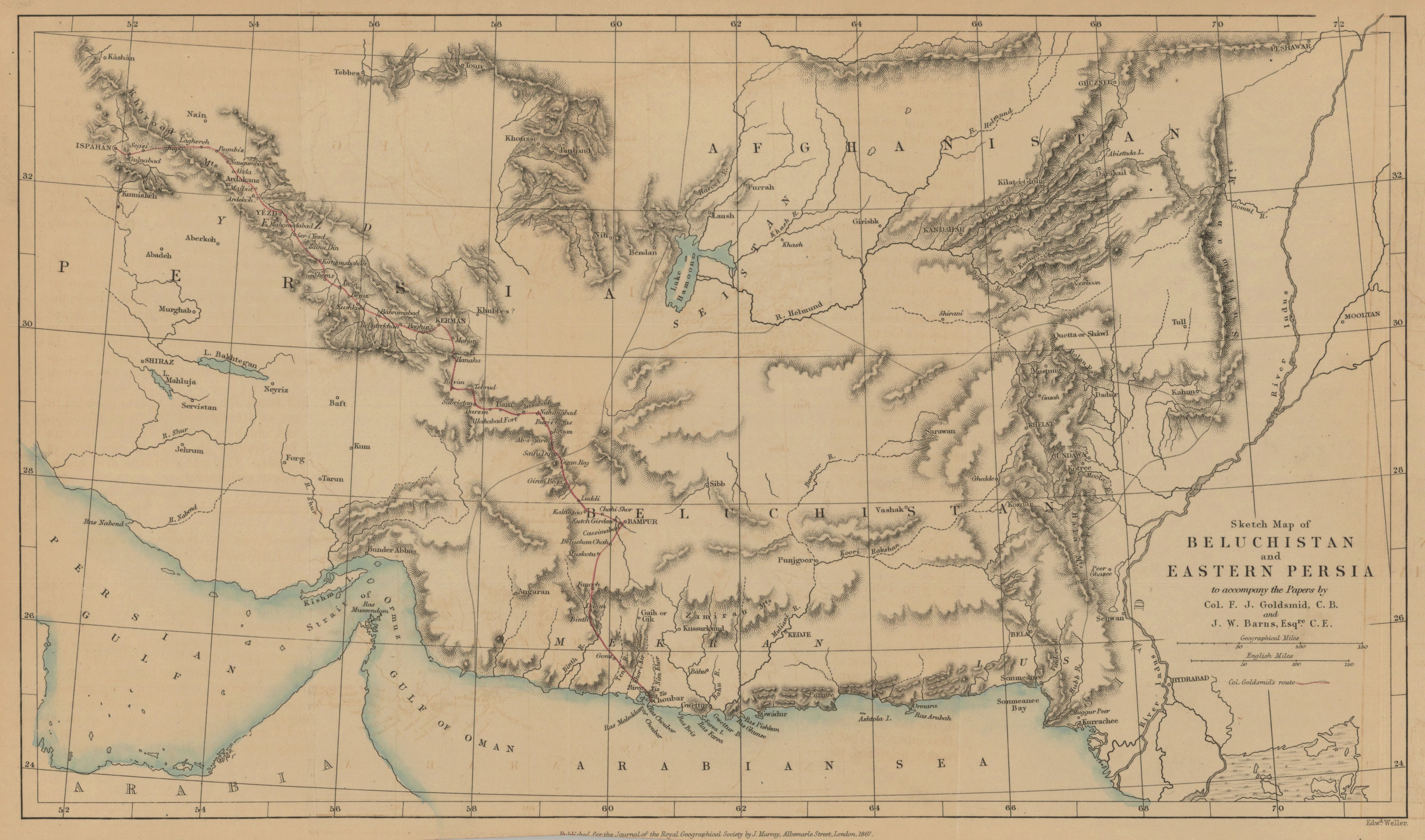
Sketch map of Beluchistan and eastern Persia to accompany the papers by Col. F. J. Goldsmid, C. B. and J. W. Barns, Esqre. C.E.
- Description:
- Col. Goldsmid's route is shown in red. Relief shown by hachures. From: Journal of the Royal Geographical Society of London. Vol. 37 (1867), pp. 269-97, 338-43; held in Firestone Library. Call number: G7 .J687 v.37 1867.
- Publisher:
- London : published for the Journal of the Royal Geographical Society, by J. Murray, Albemarle Street, 1867.
- Place(s):
- Iran, Pakistan, and Afghanistan
- Subject(s):
- Afghanistan—Description and travel—Maps, Pakistan—Description and travel—Maps, Iran—Description and travel—Maps, Hydrology—Asia, Sīstān va Balūchistān (Iran)—Maps, Balochistān (Pakistan)—Maps, Afghanistan—Maps, and Sindh (Pakistan)—Maps
- Held by:
- Princeton
- More details at
- https://catalog.princeton.edu/catalog/7593375