
Massachusetts: Abington sheet
- Description:
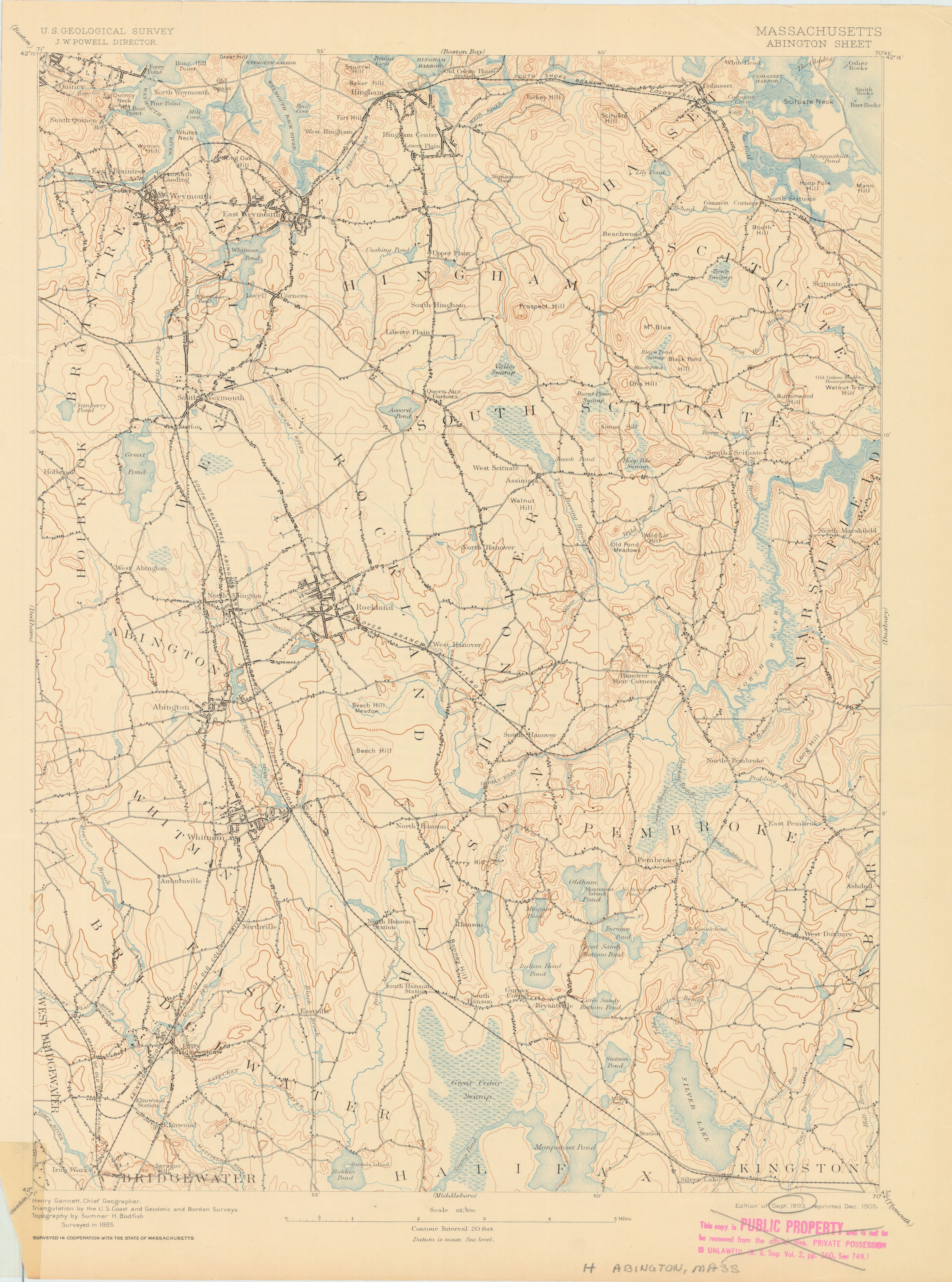
- United States. Geological Survey. U.S.G.S. Relief shown by 20 feet contour interval and spot heights. Triangulation by the U.S. Coast and Geodetic and Borden Surveys. Surveyed in 1885 in cooperation with the state of Massachusetts. In upper left margin: U.S. Geological Survey, J. W. (John Wesley) Powell Director. Verso: Description of the topographic map of the United States.
- Publisher:
- [Reston, Va.] : U.S. Geological Survey, 1893.
- Subject(s):
- Topographic maps and Abington (Mass.)—Maps
- Held by:
- Princeton
- More details at
- https://catalog.princeton.edu/catalog/6837101