
Massachusetts: Belchertown sheet
- Description:
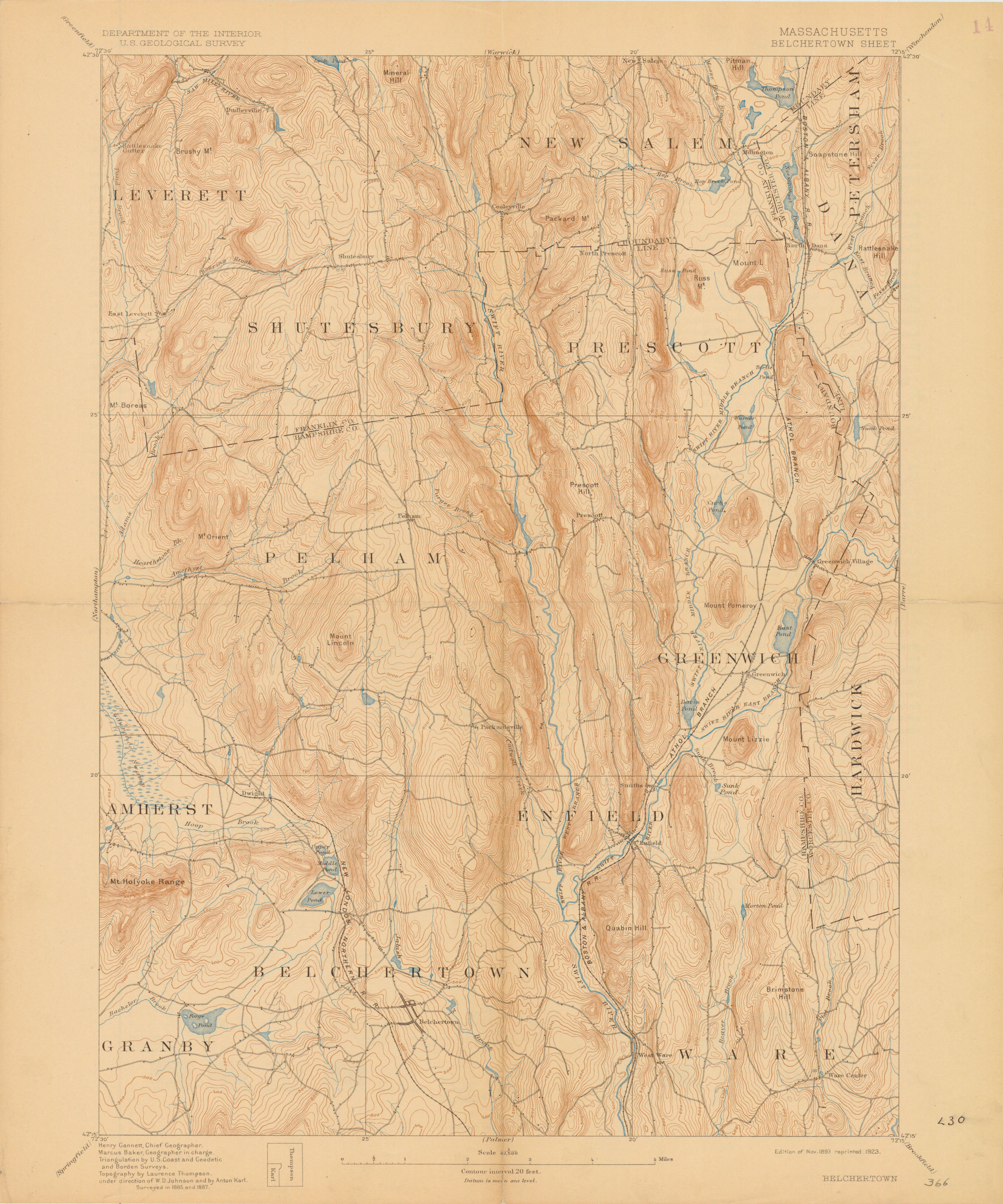
- United States. Geological Survey. U.S.G.S. Alternate title: Belchertown. Relief shown by 20 feet contour interval and spot heights. Triangulation by the U.S. Coast and Geodetic and Borden Surveys. Surveyed in 1885 and 1887. Verso: The topographic maps of the United States.
- Publisher:
- [Reston, Va.] : U.S. Geological Survey, 1893.
- Subject(s):
- Topographic maps and Belchertown (Mass.)—Maps
- Held by:
- Princeton
- More details at
- https://catalog.princeton.edu/catalog/6837205