
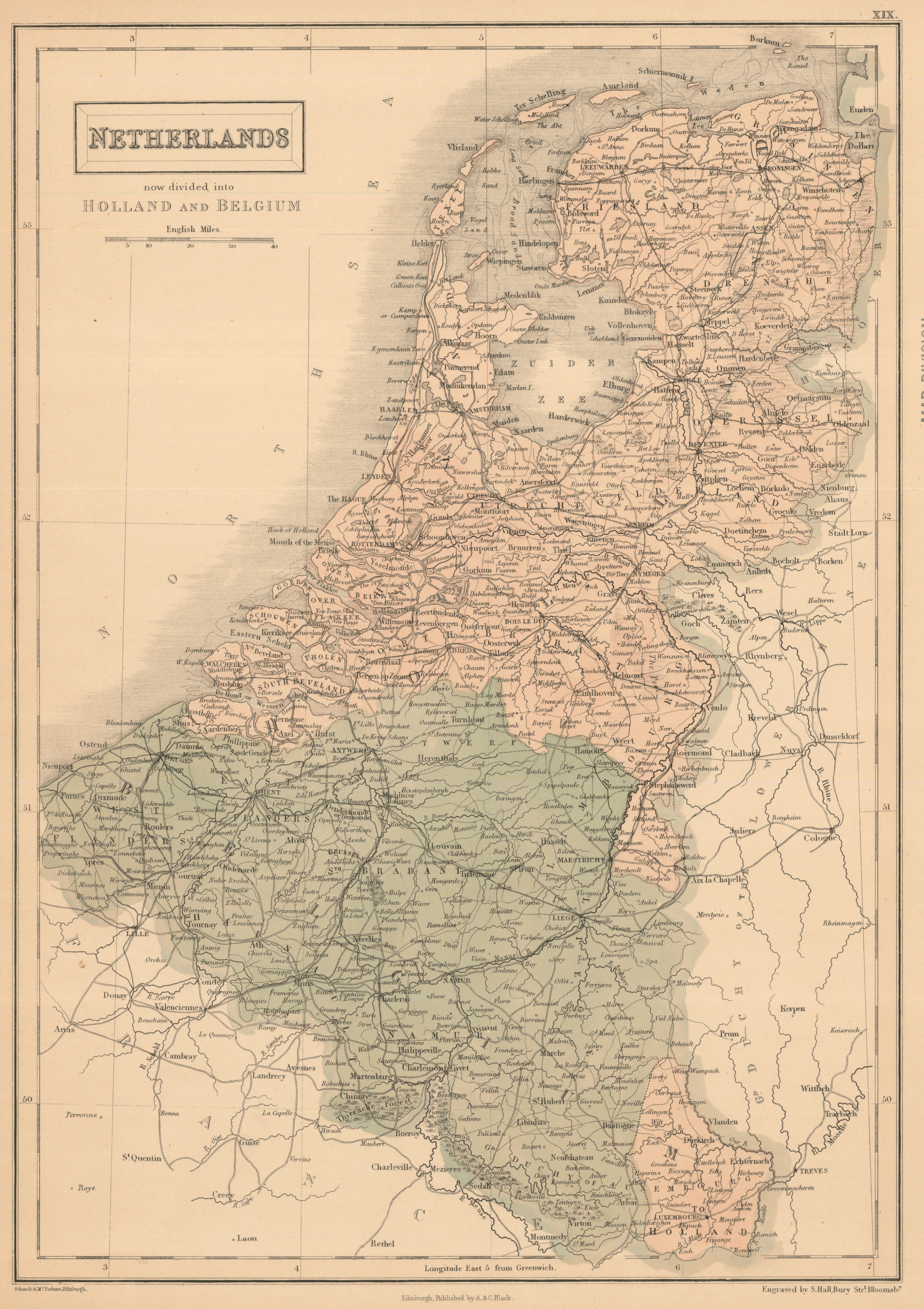
Netherlands, now divided into Holland and Belgium
- Author(s):
- Hall, Sidney
- Description:
- Relief shown by shading. Map showing main roads, principal towns and forests. Plate XIX from: General atlas of the world ... / engraved on steel by Sidney Hall ... New edition. Edinburgh : Adam and Charles Black, 1854.
- Publisher:
- Edinburgh : Published by A. & C. Black, [1854] (Edinburgh : Schenck & McFarlane)
- Place(s):
- Netherlands and Belgium
- Subject(s):
- Netherlands—Maps and Belgium—Maps
- Held by:
- Princeton
- More details at
- https://catalog.princeton.edu/catalog/6936645