
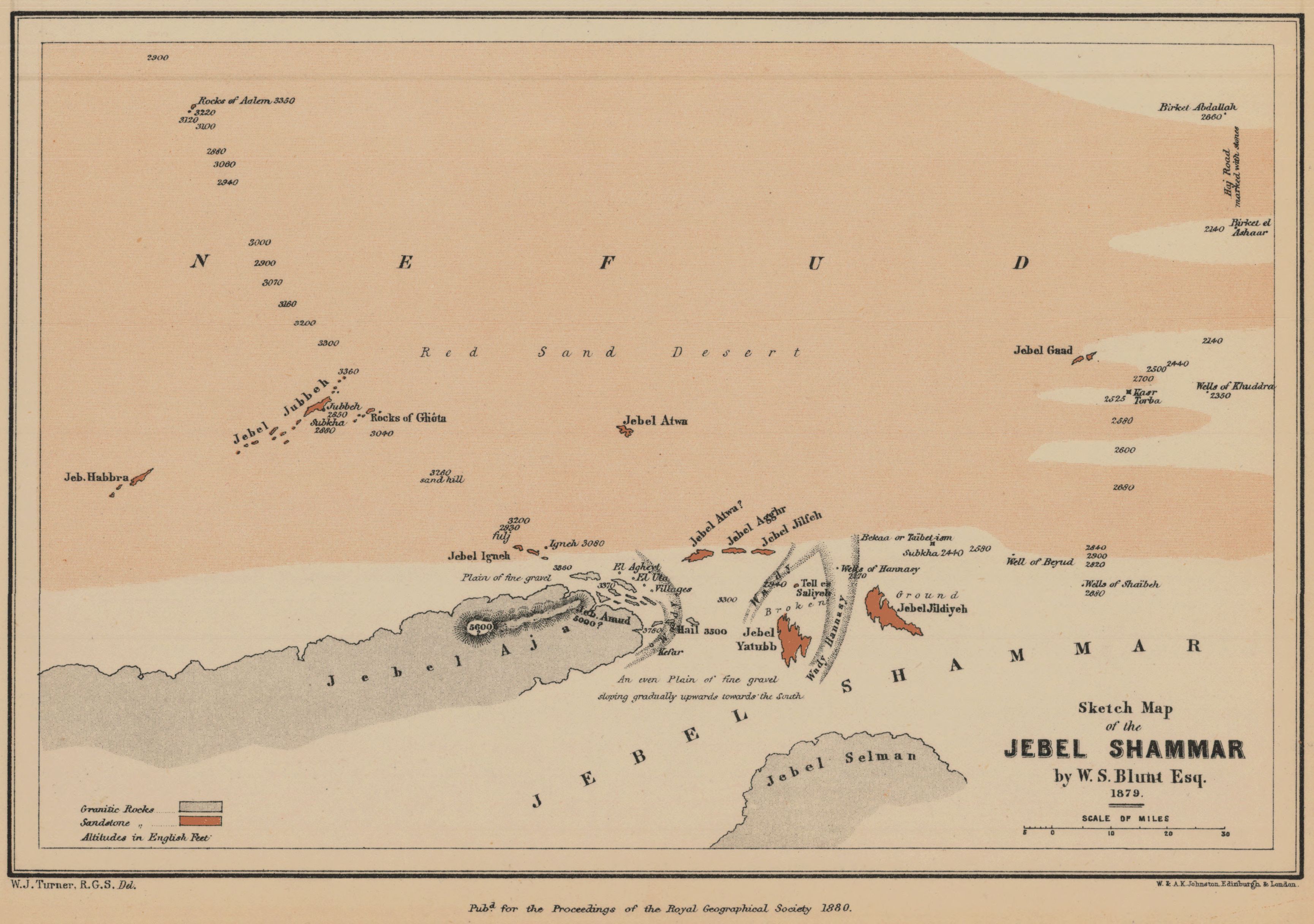
Sketch map of the Jebel Shammar by W. S. Blunt Esq., 1879
- Author(s):
- Turner, W. J. (William John).
- Description:
- Relief shown by spot heights, hachures, and coloration. Areas of granitic rock and sandstone are shown. Extent of Nafud desert is shown. Includes information on quality and composition of terrain. Wadis and wells are shown. From: Proceedings of the Royal Geographical Society and monthly record of geography. Vol. 2 (1880), no. 2, pp. 81-102; held in Firestone Library. Call number: G7 .J6873
- Publisher:
- London : Edward Stanford, 1880.
- Place(s):
- Saudi Arabia
- Subject(s):
- Najd (Saudi Arabia)—Description and travel, Deserts—Saudi Arabia, and Najd (Saudi Arabia)—Maps
- Held by:
- Princeton
- More details at
- https://catalog.princeton.edu/catalog/8083361