
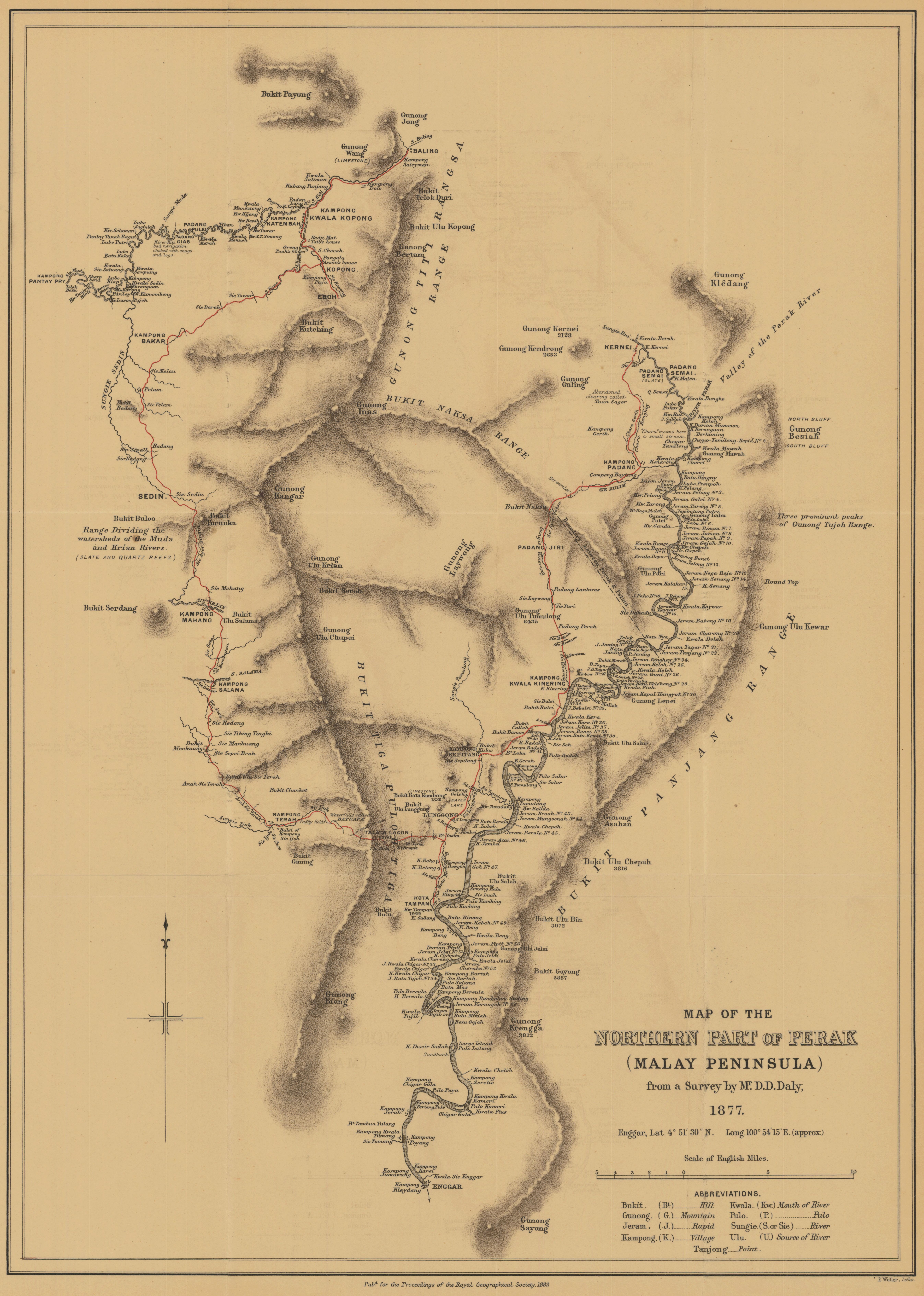
Map of the northern part of Perak (Malay Peninsula) from a survey by Mr. D. D. Daly, 1877
- Description:
- Relief shown by hachures and spot heights. Routes of expeditions shown in red. From: Proceedings of the Royal Geographical Society and monthly record of geography. Vol. 4 (1882), no. 7, pp. 393-412; held in Firestone Library. Call number: G7 .J6873
- Publisher:
- London : Edward Stanford, 1882.
- Place(s):
- Malaysia
- Subject(s):
- Perak—Description and travel, Perak—Maps, Kedah—Maps, and Malaysia—Maps
- Held by:
- Princeton
- More details at
- https://catalog.princeton.edu/catalog/7929207