
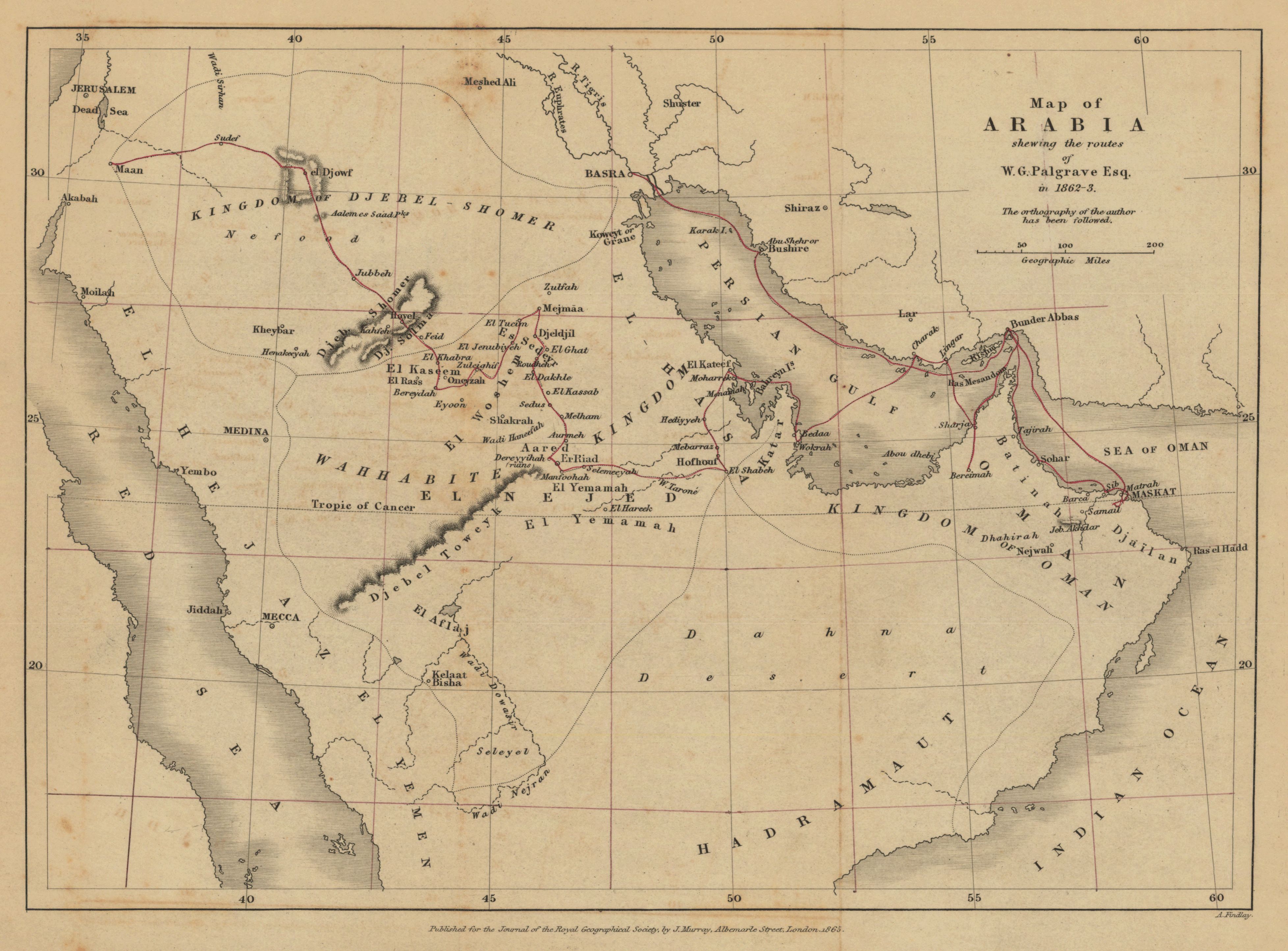
Map of Arabia shewing the routes of W. G. Palgrave Esq. in 1862-3
- Description:
- Relief shown by hachures. Territories of Hejaz, Yemen, Hadramaut, Oman, Nejed, and Djebel-Shomer are shown. "The ortography of the author has been followed." From: Journal of the Royal Geographical Society of London. Vol. 34 (1864), pp. 111-54; held in Firestone Library. Call number: G7 .J687 v.34 1864. Lines of latitude and longitude every 2°30ʹ were hand drawn after map was published.
- Publisher:
- London : published for the Journal of the Royal Geographical Society, by J. Murray, Albemarle Street, 1864.
- Place(s):
- Arabian Peninsula
- Subject(s):
- Arabian Peninsula—Description and travel—Maps, Persian Gulf—Description and travel—Maps, and Arabian Peninsula—Maps
- Held by:
- Princeton
- More details at
- https://catalog.princeton.edu/catalog/7593162