
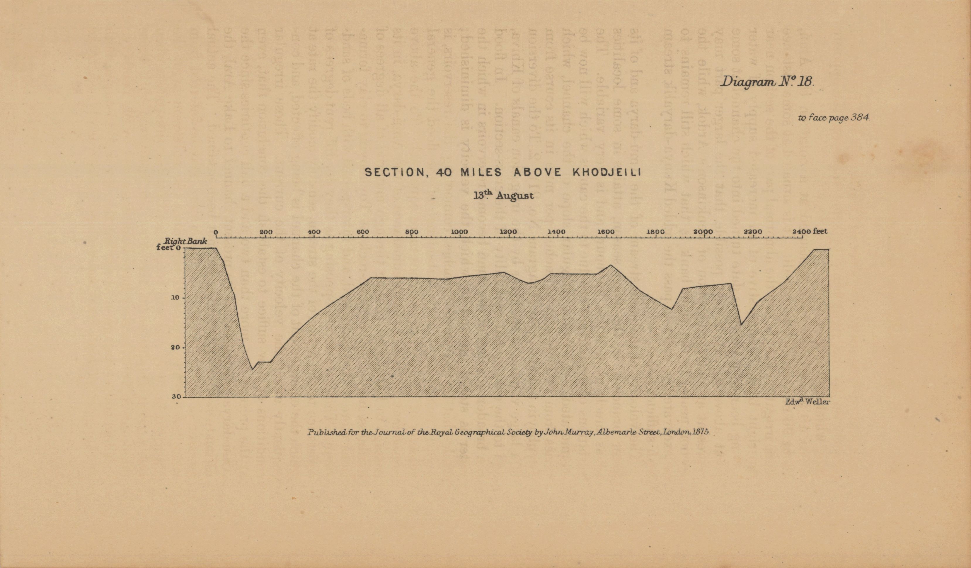
[Amu Darya and Aral Sea diagrams] No. 18. Section, 40 miles above Khodjeili, 13th. August
- Author(s):
- Wood, Herbert
- Description:
- Title given by cataloger. Depth shown by soundings and bathymetric sections. Relief shown by contours, hachures, and spot heights. Scale of diagrams 2-3, 7-8, 10, 12-20 ca. 1:5,690; vertical scale ca. 1:285. Horizontal and vertical scales of diagram 5 ca. 1:1,440. Scale of diagram 9 ca. 1:15,360. Scale of diagram 21 ca. 1:4,528,000. Scale of map ca. 1:2,821,000 at 43° N. From: Journal of the Royal Geographical Society of London. Vol. 45 (1875), pp. 367-413; held in Firestone Library. Call number: G7 .J687.
- Publisher:
- London : John Murray, 1875.
- Place(s):
- Asia, Central, Uzbekistan, and Turkmenistan
- Subject(s):
- Aral Sea Watershed (Uzbekistan and Kazakhstan)., Hydrology, Hydrography, Amu Darya—Maps, Aral Sea Watershed (Uzbekistan and Kazakhstan)—Maps, Aral Sea (Uzbekistan and Kazakstan)—Maps, Asia, Central—Maps, Uzbekistan—Maps, and Turkmenistan—Maps
- Held by:
- Princeton
- More details at
- https://catalog.princeton.edu/catalog/7680145