
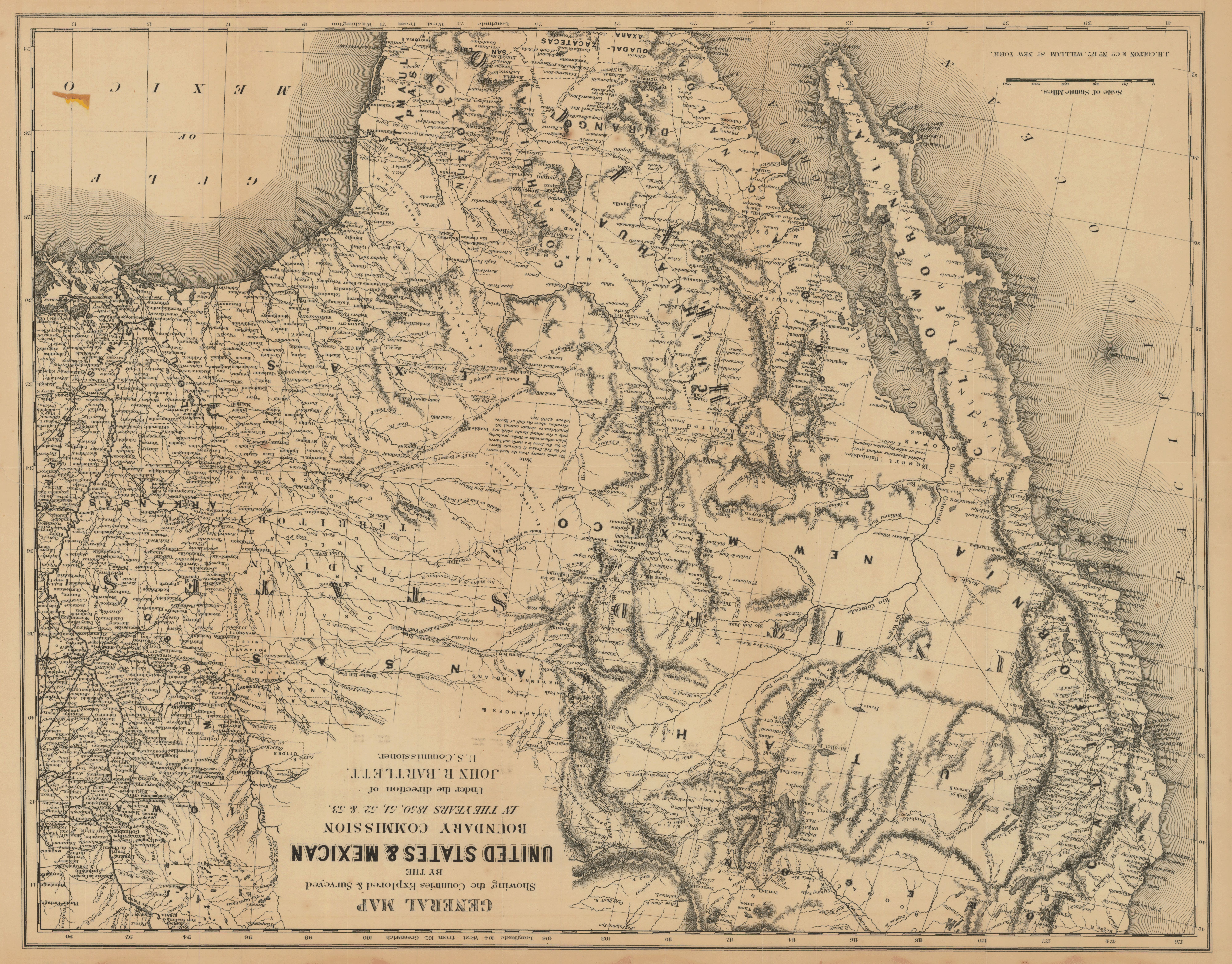
General map showing the countries explored & surveyed by the United States & Mexican Boundary Commission in the years 1850, 51, 52 & 53
- Author(s):
- Bartlett, John Russell, 1805-1886
- Description:
- Relief shown by hachures. Prime meridian: Greenwich and Washington. Includes historic notes.
- Publisher:
- New York : J.H. Colton & Co., [1853]
- Place(s):
- Southwest, New, Southern States, Mexico, and United States
- Subject(s):
- Southwestern States—Maps, Mexico—Maps, United States—Boundaries—Mexico—Maps, and Mexico—Boundaries—United States—Maps
- Held by:
- Princeton
- More details at
- https://catalog.princeton.edu/catalog/8257072